Wisconsin Corn Field Analysis: RGB, NDVI & NDRE

Case Study
Terra Intelligence conducted a multispectral drone scan of a Wisconsin corn field to evaluate crop variability and demonstrate how RGB, NDVI, and NDRE imagery can support more targeted scouting and ground inspection.

What the Scan Revealed
The imagery showed noticeable differences in crop response across the field, including localized areas of lower vegetation-index values and several patterns along the field edge. These differences do not identify a specific cause on their own, but they provide clear locations for targeted ground inspection and follow-up scouting.
RGB vs. NDVI vs. NDRE
RGB
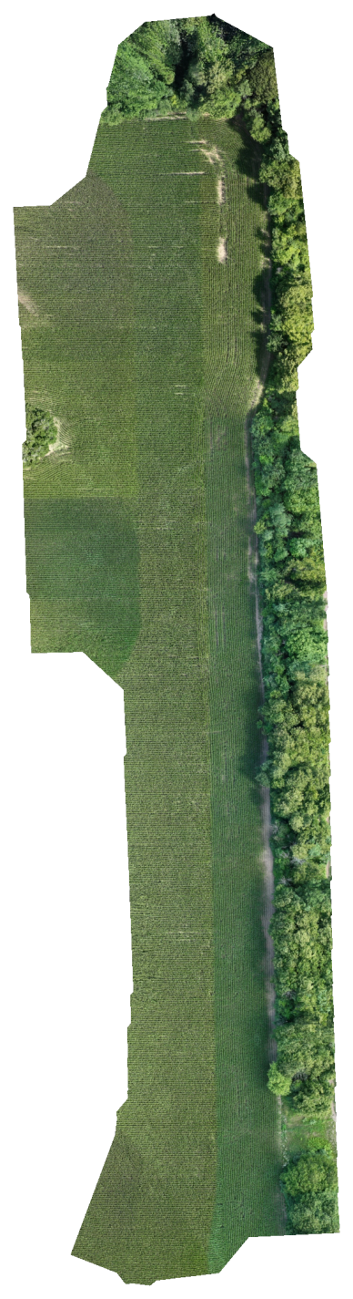
Natural-color imagery shows visible field conditions, stand differences, and areas with obvious surface or canopy variation.
NDVI
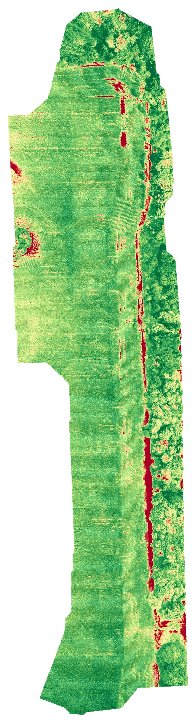
NDVI highlights overall vegetation vigor and broad variability, helping identify areas that may warrant closer scouting.
NDRE
NDRE
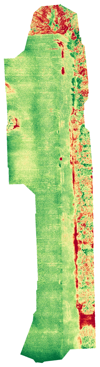
NDRE can reveal subtler differences in denser crop canopies and help identify areas that may warrant closer ground inspection.

Why Multiple Layers Matter
RGB provides visual context, while NDVI and NDRE add vegetation-response information that may not be obvious from natural-color imagery alone. Reviewing the layers together provides a more complete picture of field variability and helps prioritize where to inspect on the ground.
How This Supports Crop Scouting
Mapped areas of interest can be paired with coordinates so growers can quickly locate specific areas in the field, compare conditions over time, and focus scouting effort where it is most likely to be useful.